
Smith County
Boat Docks, Dredging & Lifts on
Lake Palestine
Lake Palestine is a 23,112-acre Upper Neches River reservoir that touches Anderson, Cherokee, Henderson, and Smith counties — making it the most cross-county waterfront market we work.
From Bullard and Flint down to Frankston and Coffee City, we build docks sized for Palestine's drawdown range, dredge the silt-prone upper coves on a 10–15 year cycle, and manage the UNRMWA shoreline packet on every job.
- Free on-site estimates
- Owner on every job
- We prepare the shoreline permit
On the ground in Lake Palestine
Upper Neches River Municipal Water Authority (UNRMWA) manages permitting. Lake Palestine's water level moves, which influences piling length and ramp design. Coves are long and silt-prone on the Anderson/Cherokee end — a number of our dredge jobs run there. The Smith County side runs deeper and is faster water near the dam.
Neighborhoods & communities we work in
- Bullard
- Flint
- Coffee City
- Berryville
- Frankston
- Chandler
What we build here
Most-requested services in Lake Palestine
The work Lake Palestine owners ask for most — each tuned to this shoreline's permitting, soil, and water conditions.
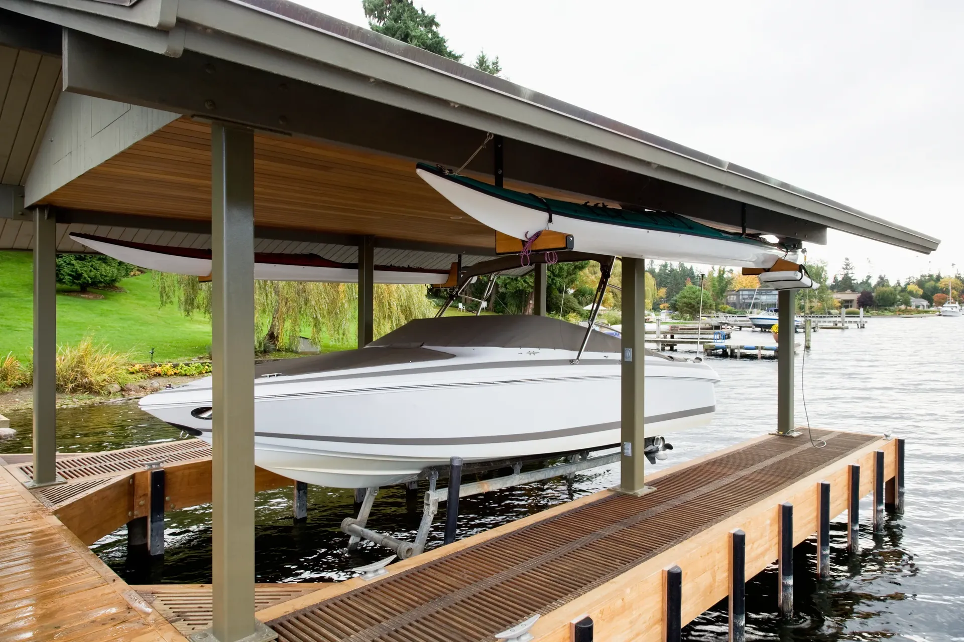
Boat Docks in Lake Palestine
Lake Palestine spans four counties under Upper Neches River Municipal Water Authority permitting, and the biggest design factor here is the lake's moving water level.
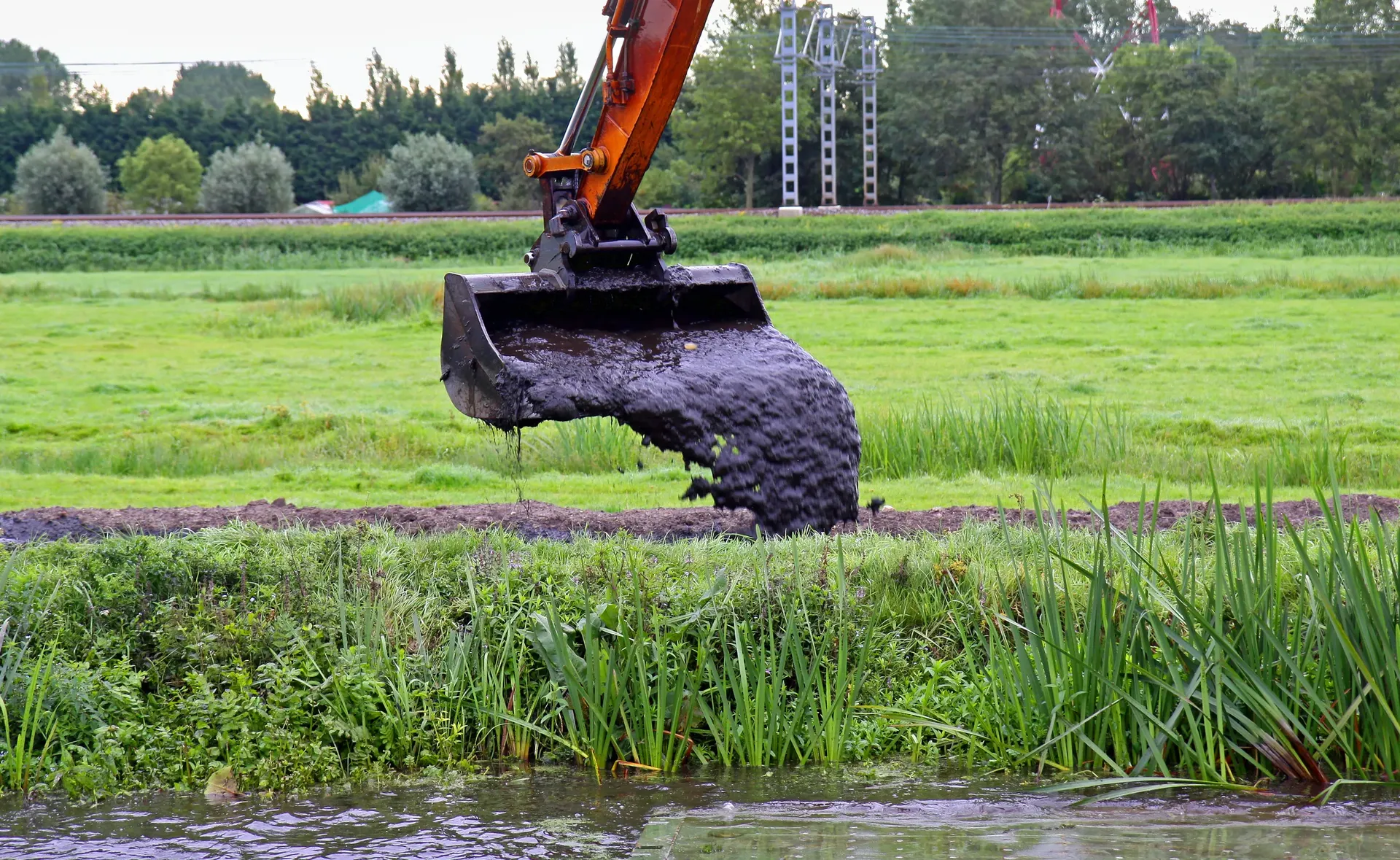
View boat docks detailsDredging in Lake Palestine
Palestine's upper-Neches geography makes dredging a recurring need: the long coves on the Anderson and Cherokee ends collect fine sediment from the river drainage, and many lots run a 10–15 year dredge cycle to keep usable depth at the dock.
View dredging detailsSeawalls & Bulkheads in Lake Palestine
On Lake Palestine a bulkhead does double duty — it holds the bank and slows the sediment cycle that silts these coves in.
View seawalls & bulkheads detailsBoat Lifts in Lake Palestine
Because Lake Palestine fluctuates, lift selection has to account for a moving waterline — a fixed-height cradle that's perfect at full pool can leave a boat hanging or grounded in a dry year.
View boat lifts detailsLocal pricing
What waterfront work costs in Lake Palestine
Typical ranges for a standard project on Lake Palestine. Site access, materials, exposure, and permitting move the final number — the instant estimator tailors it to your lot in under a minute.
Typical 400 sq ft project
Typical 500 cu yd project
Typical 80 linear ft project
Estimates only — not a quote. Boat lifts are priced by capacity; ask for a per-pound figure.
Price your exact project →Free instant estimate
See what your boat docks in Lake Palestine could cost — in under a minute
Typical boat docks projects run $22k–$52k. Get a tailored range for your site in seconds.
No phone call required to see your number — answer a few quick questions and the estimator does the rest.
What you get
Outcomes we deliver around Lake Palestine
Local guides
Local reading for Lake Palestine
East Texas Lake Levels: Cedar Creek, Athens, and Palestine
What TPWD and the TWDB publish about Cedar Creek, Lake Athens and Lake Palestine levels, and how the bank sets the dock and bulkhead spec on each.
12 min readLake Palestine Drawdown: Building for Variable Water Levels
Lake Palestine sees water-level changes year to year — here's how to build a dock, seawall, or ramp that handles the full range.
15 min readReading a Lake Bottom Map Before You Build a Dock
Bathymetric maps and sonar scans are public, free, and often more useful than the builder you're talking to. Here's how to read one.
12 min readHow to Compare Three Boat Dock Bids in East Texas (And Spot the Outlier)
Three quotes, three different numbers. A line-item framework for comparing dock bids apples-to-apples — and the gaps that cause most disputes.
13 min readWhat to Pay for Dredging: Cedar Creek vs. Lake Palestine
Two lakes, two very different dredging cost profiles. A side-by-side on what drives the number on each.
13 min readFloating vs. Fixed Dock for Fluctuating Lake Levels
When the lake's level moves, the dock design has to handle it. A practical comparison of floating, fixed, and articulating systems.
13 min readQuestions, answered
Lake Palestine waterfront construction FAQ
Who permits shoreline work on Lake Palestine?+
The Upper Neches River Municipal Water Authority (UNRMWA) manages permitting for every dock, bulkhead, dredge, and shoreline alteration on Lake Palestine. We run the shoreline-alteration packet as part of the job on all four counties the lake touches — Anderson, Cherokee, Henderson, and Smith.
How does Lake Palestine's water level affect my dock?+
Lake Palestine's level moves, so we size pilings and deck height for the lake's full range — not just today's pool — so the dock still works in a dry year. On the long, silt-prone Anderson and Cherokee coves, the shallow bottom often pushes owners toward articulating components over a purely fixed frame.
Why does my Lake Palestine cove need dredging?+
The upper coves collect fine sediment from the Neches River drainage, and many lots run a 10–15 year dredge cycle to keep usable depth at the slip. We sonar-map the cove first to target the sediment plume, and often pair the dredge with a bulkhead so the bank doesn't wash fresh silt straight back in. Cove dredging typically runs about $17.5k–$40k depending on volume and access.
How long does UNRMWA permitting add to a Lake Palestine build?+
The Upper Neches River Municipal Water Authority reviews every dock, bulkhead, dredge, and shoreline alteration on Lake Palestine, so we build that shoreline-alteration packet into the schedule from the start. Because the lake touches four counties — Anderson, Cherokee, Henderson, and Smith — we confirm which county's frontage your lot sits on before submitting. Running the packet up front keeps fabrication from waiting on the authority.
Should I build a fixed or articulating dock on Lake Palestine?+
It depends on your cove. On the long, silt-prone Anderson and Cherokee coves, the shallow bottom often pushes owners toward articulating components over a purely fixed frame, while deeper lots can run fixed. We size pilings and deck height for the lake's full range, not just today's pool, and match the frame to your lot's drawdown exposure.
How much does a dock cost on Lake Palestine?+
A standard fixed dock on Lake Palestine typically runs about $22k–$52k before a lift, depending on size and decking. The lake's drawdown means we size pilings and deck height for the full water range, and on the long silt-prone coves articulating components can add to the build. The estimator gives a range tied to your specific cove and county frontage.
Why pair a bulkhead with my Lake Palestine cove dredge?+
The upper coves collect fine sediment from the Neches River drainage, so we often pair the dredge with a bulkhead — otherwise the unstabilized bank washes fresh silt straight back into the cleared cove. The bulkhead holds the bank so the dredge lasts, and we run both through the UNRMWA shoreline-alteration packet together. A bulkhead typically runs about $12k–$36k depending on length and tie-backs.
How often will my Lake Palestine cove need dredging?+
Many lots on the silt-prone upper coves run a 10–15 year dredge cycle, because the Anderson and Cherokee sides collect fine sediment from the Neches River drainage. We sonar-map the cove first to target the sediment plume rather than moving clean water. Cove dredging typically runs about $17.5k–$40k depending on volume and access.
Does Lake Palestine's drawdown affect where I set my boat lift?+
Yes — because the lake's level moves, we set the lift for the full water range so the boat still floats off in a dry year, not just at today's pool. On the long, silt-prone Anderson and Cherokee coves the shallow bottom is part of why articulating components often beat a fixed lift platform. We size the whole system to the lake's range.
Do you work all four counties Lake Palestine touches?+
Yes. Lake Palestine spans Anderson, Cherokee, Henderson, and Smith counties, and we run the UNRMWA shoreline-alteration packet as part of the job on all four. The cove behavior differs by side — the upper Anderson and Cherokee coves silt in faster — so we scope each lot to its own frontage.
Can you build a retaining wall or outdoor kitchen at my Lake Palestine home?+
Yes. Alongside docks, bulkheads, and dredging we build residential retaining walls — typically about $2.7k–$7.2k depending on length, height, and material — and outdoor kitchens from roughly $9.6k up past $21k depending on the package. Where a wall meets the shoreline we coordinate it with the UNRMWA-permitted bulkhead line and bundle scopes onto one mobilization.
How do I get usable depth at the slip on a silting Lake Palestine cove?+
On the upper coves that collect Neches River sediment, we sonar-map the cove first, dredge to target the plume, and often pair it with a bulkhead so the bank doesn't wash fresh silt back in. We then size pilings and deck height for the lake's full drawdown range so the slip stays usable in a dry year. Cove dredging runs about $17.5k–$40k depending on volume and access.
Where are the public boat ramps on Lake Palestine?+
Texas Parks and Wildlife counts five public boat launches on Lake Palestine. They include the Kickapoo and Flat Creek ramps on FM 315 south of Chandler, Saline Bay off Texas 155 at Dogwood City, and the Deep End ramp off FM 1892 at the west end of the dam. More than a dozen private marinas, motels and campgrounds also have ramps.
How big and how deep is Lake Palestine?+
The Texas Water Development Board's 2012 survey measured 23,112 surface acres at the 345-foot conservation pool. Older listings, including Texas Parks and Wildlife's, give 25,560 acres, which was the original design figure. TPWD lists a maximum depth of 58 feet.
Is Lake Palestine man-made?+
Yes. Blackburn Crossing Dam impounds the Neches River about four miles east of Frankston. Water began filling the lake on May 1, 1962, and work to enlarge the dam ran from 1969 to 1971. The Upper Neches River Municipal Water Authority owns and runs it.
What is Lake Palestine's normal water level?+
Full pool is 345 feet above sea level, the crest of the uncontrolled spillway at Blackburn Crossing Dam. Texas Parks and Wildlife lists a normal fluctuation of 2.2 feet.
Is there a depth or contour map of Lake Palestine?+
Yes. The Texas Water Development Board's 2012 survey includes a bottom contour map, and UNRMWA posts a downloadable lake map on its Facts & Statistics page. Neither shows the silt in a single cove. We sonar-map the cove first to target the sediment plume.
Keep exploring
Other services in Lake Palestine
Towns on Lake Palestine
Nearby service areas
Quote a Lake Palestine project
See your range in under a minute with the instant estimator, or call and talk it through — no obligation either way.
- Free on-site estimates
- Owner on every job
- We prepare the shoreline permit