
Navarro County
Boat Docks, Dredging & Ramps on
Richland-Chambers
Richland-Chambers is a 43,384-acre Trinity-side reservoir spanning Navarro and Freestone counties — the third-largest lake fully inside Texas and a heavy bass-fishing destination west of our base.
Across the Corsicana, Kerens, and Streetman shorelines we sonar-map bottom contour and submerged timber before design, barge-mobilize most builds, and run the TRWD shoreline packet for this 43,384-acre reservoir.
- Free on-site estimates
- Owner on every job
- We prepare the shoreline permit
On the ground in Richland-Chambers Reservoir
Operated by Tarrant Regional Water District, with the same TRWD ordinance and permit guidelines as Cedar Creek. Richland-Chambers has long, low-slope coves with submerged timber and sediment plumes — both dredging and dock placement require careful sonar work upfront. We barge-mobilize most jobs here.
Neighborhoods & communities we work in
- Corsicana
- Streetman
- Wortham
- Kerens
What we build here
Most-requested services in Richland-Chambers Reservoir
The work Richland-Chambers Reservoir owners ask for most — each tuned to this shoreline's permitting, soil, and water conditions.
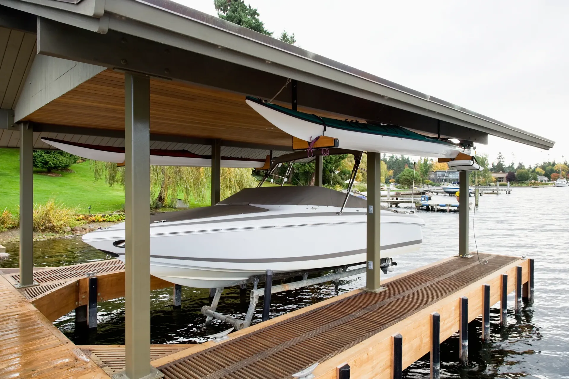
Boat Docks in Richland-Chambers Reservoir
Richland-Chambers is TRWD water under the same District-wide rules as Cedar Creek, but its character is distinct: long, low-slope coves with submerged timber and a lot of open fetch.
View boat docks detailsDredging in Richland-Chambers Reservoir
Richland-Chambers' long, low-slope coves and sediment plumes make dredging a survey-first job — moving the right material in a 43,384-acre TRWD reservoir starts with sonar, not a guess.
View dredging detailsBoat Lifts in Richland-Chambers Reservoir
On Richland-Chambers the lift sits at the end of a longer reach over low-slope, sometimes-timbered bottom, so placement and guide-pile setup matter as much as capacity.
View boat lifts detailsBoat Ramps in Richland-Chambers Reservoir
Boat ramps on Richland-Chambers have to handle the lake's long, low-slope approach and big-water access — getting the grade and the staging right matters on a reservoir this size.
View boat ramps detailsLocal pricing
What waterfront work costs in Richland-Chambers Reservoir
Typical ranges for a standard project on Richland-Chambers Reservoir. Site access, materials, exposure, and permitting move the final number — the instant estimator tailors it to your lot in under a minute.
Typical 400 sq ft project
Typical 500 cu yd project
Typical 40 linear ft project
Estimates only — not a quote. Boat lifts are priced by capacity; ask for a per-pound figure.
Price your exact project →Free instant estimate
See what your boat docks in Richland-Chambers Reservoir could cost — in under a minute
Typical boat docks projects run $22k–$52k. Get a tailored range for your site in seconds.
No phone call required to see your number — answer a few quick questions and the estimator does the rest.
Who we serve
Who we work with around Richland-Chambers Reservoir
What you get
Outcomes we deliver around Richland-Chambers Reservoir
Local guides
Local reading for Richland-Chambers Reservoir
Reading a Lake Bottom Map Before You Build a Dock
Bathymetric maps and sonar scans are public, free, and often more useful than the builder you're talking to. Here's how to read one.
12 min readRichland-Chambers Construction: TRWD Permitting and Build Deep-Dive
Richland-Chambers is TRWD's larger reservoir, permitted under the same District-wide rules as Cedar Creek. Here's the owner-side deep dive on building, permitting, and maintaining waterfront property.
15 min read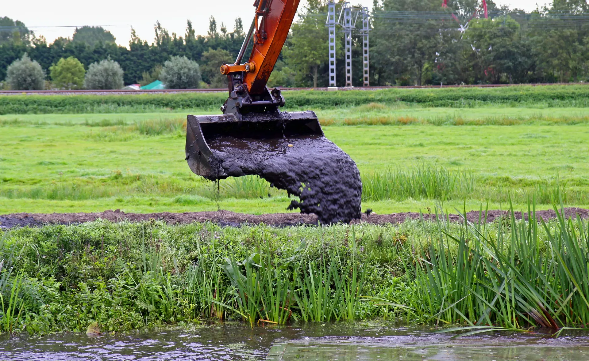
East Texas Lake Levels: Cedar Creek, Athens, and Palestine
What TPWD and the TWDB publish about Cedar Creek, Lake Athens and Lake Palestine levels, and how the bank sets the dock and bulkhead spec on each.
12 min read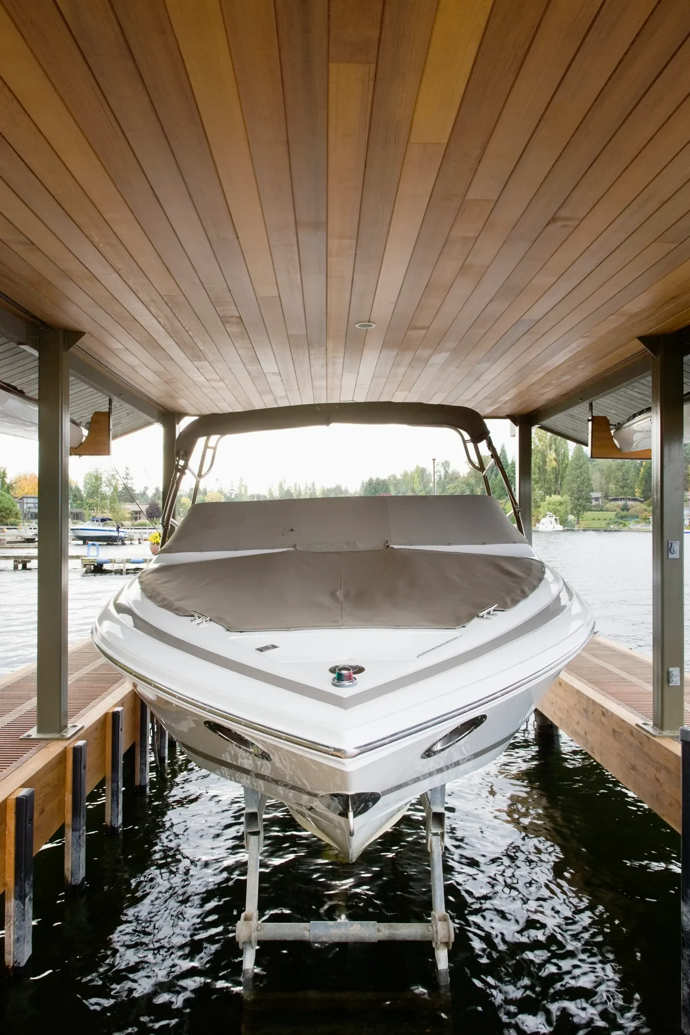
Cable vs. Hydraulic Boat Lifts: Which Pays Back
Two lift technologies, two different cost profiles, two different use cases. A no-marketing comparison from the crew that installs both.
13 min readFloating vs. Fixed Dock for Fluctuating Lake Levels
When the lake's level moves, the dock design has to handle it. A practical comparison of floating, fixed, and articulating systems.
13 min readFamily-Safe Dock Design: Railings, Lighting, Slip-Resistance
Designing a dock the kids and grandparents can use without anyone falling in — the railing, lighting, and surface choices that actually prevent accidents.
13 min readQuestions, answered
Richland-Chambers Reservoir waterfront construction FAQ
Who permits dock and dredge work on Richland-Chambers Reservoir?+
Richland-Chambers is Tarrant Regional Water District (TRWD) water like Cedar Creek, under the same District-wide ordinance and permit guidelines. We handle that submittal, and coordinate through TRWD's Corsicana satellite office on the work near town.
Why do you sonar-survey before building on Richland-Chambers?+
The reservoir's long, low-slope coves hold submerged timber and sediment plumes, so bottom contour and standing timber decide where pilings can go and where a dredge can cut. We map it upfront so piling placement is right the first time and the barge avoids hangs.
How is a project mobilized on a lake this size?+
At 43,384 acres with long reaches, most Richland-Chambers jobs are barge-mobilized. We sequence dock, lift, and dredge scopes onto a single mobilization where access allows, which controls cost on big water.
How long does TRWD permitting take on Richland-Chambers?+
Richland-Chambers is Tarrant Regional Water District water like Cedar Creek, under the same District-wide ordinance and permit guidelines, so we handle that submittal and coordinate through TRWD's Corsicana satellite office on the work near town. We build that review into the schedule and submit the packet up front so fabrication isn't waiting. Running the permit early is what keeps a big-water job on time.
How much does a boat dock cost on Richland-Chambers?+
A standard fixed dock on Richland-Chambers typically runs about $22k–$52k before a lift, depending on size and decking. The reservoir's long, low-slope coves and submerged timber affect where pilings can go, so we sonar-survey first to place them right the first time. The estimator gives a range tied to your lot's contour and access.
Why is dredging often part of a Richland-Chambers project?+
The reservoir's long, low-slope coves hold sediment plumes, so usable depth at the slip can be the limiting factor on a dock. We sonar-map the bottom contour upfront and cut a dredge where the plume sits, sequencing it onto the same barge mobilization as the dock where access allows. Cove dredging typically runs about $17.5k–$40k depending on volume and disposal.
How does submerged timber on Richland-Chambers affect my build?+
The reservoir's coves hold standing and submerged timber, so bottom contour and timber decide where pilings can go and where a dredge can cut. We sonar-survey before building so piling placement is right the first time and the barge avoids hangs. Skipping that survey on this water is how a dock ends up in the wrong spot.
How much does a bulkhead cost on Richland-Chambers?+
A bulkhead on Richland-Chambers typically runs about $12k–$36k depending on shoreline length, material, and tie-back system. The long, low-slope coves and standing timber mean we sonar-survey the alignment first, and we run the TRWD submittal through the Corsicana satellite office.
Can you combine dock, lift, and dredge on one Richland-Chambers mobilization?+
Yes — at 43,384 acres with long reaches, most Richland-Chambers jobs are barge-mobilized, so we sequence dock, lift, and dredge scopes onto a single mobilization where access allows. That controls cost on big water by not bringing the barge and crew back. We sonar-survey first so every scope lands right the first pass.
Why are most Richland-Chambers projects barge-mobilized?+
At 43,384 acres with long reaches, land access to many lots is impractical, so most Richland-Chambers jobs are barge-mobilized. We sequence the full scope — dock, lift, dredge, bulkhead — onto one barge trip where access allows, which is the main lever for controlling cost on water this size. We sonar-survey before mobilizing so the barge avoids the reservoir's submerged timber.
Should I add a boat lift when building on Richland-Chambers?+
Yes — adding the lift on the same barge mobilization saves the cost of bringing the crew back across big water for a retrofit. We size and place the lift against the sonar survey so it clears the reservoir's submerged timber and low-slope bottom contour. As TRWD water, the lift framing goes through the same Corsicana-office submittal.
Do you work the Corsicana side of Richland-Chambers?+
Yes. Corsicana is the gateway to the reservoir, and we coordinate the work near town through TRWD's Corsicana satellite office. On big water we barge-mobilize and sequence the dock, lift, and dredge scopes onto a single trip where access allows.
Where are the public boat ramps on Richland-Chambers?+
TRWD says it has built several public access ramps on the lake. Texas Parks and Wildlife lists free Navarro County ramps at Highway 309 Park, the FM 2859 crossing, Cedar Creek Ramp off FM 2859, Crab Creek off FM 3243, and Cheneyboro near the town of Navarro. Private marinas such as Oak Cove and Harbor Inn charge a launch fee.
How big and how deep is Richland-Chambers Reservoir?+
TRWD's lake map gives 43,384 surface acres at the 315-foot conservation pool and 330 miles of shoreline; TRWD's website calls it a 45,000-acre lake. Texas Parks and Wildlife lists a maximum depth of 75 feet. The Texas Water Development Board calls it the third-largest lake lying entirely within Texas. Some older listings show 41,356 acres, a 1994 survey figure.
Is Richland-Chambers a man-made lake?+
Yes. Richland-Chambers Dam impounds Richland and Chambers creeks in the Trinity River basin, about 20 miles southeast of Corsicana. Water began filling the reservoir on July 14, 1987, and TRWD owns and runs it as a water-supply reservoir.
Does Richland-Chambers stay at a constant level?+
No. It sat about 2.8 feet below its 315-foot pool on November 2, 2026 (TWDB). TRWD posts the current level on its website.
Is there a depth or contour map of Richland-Chambers?+
Yes. The Texas Water Development Board's 2018 survey includes a bottom contour map of the reservoir, and TRWD publishes a lake map showing ramps and marinas. A lakewide map won't show the standing timber and silt at your lot. We sonar-survey before building so piling placement is right the first time and the barge avoids hangs.
Can you swim in Richland-Chambers?+
Yes, under the same TRWD General Ordinance that covers Cedar Creek. Swimmers must stay within 100 feet of the shoreline or a boat and at least 100 feet from boat launches, unless they are inside a buoyed swimming area.
Keep exploring
Other services in Richland-Chambers Reservoir
Towns on Richland-Chambers Reservoir
Quote a Richland-Chambers Reservoir project
See your range in under a minute with the instant estimator, or call and talk it through — no obligation either way.
- Free on-site estimates
- Owner on every job
- We prepare the shoreline permit